
Land Surveying and Mapping
Obtaining a professional land survey is a crucial step in safeguarding your property investment and is essential for any land-related project. Whether you're buying, selling, expanding, subdividing, or refinancing your property, a land survey is necessary. Before you hire a land surveyor, it’s important to understand what a land survey entails. This knowledge will help you make an informed decision and choose a top-notch land surveyor for your needs.
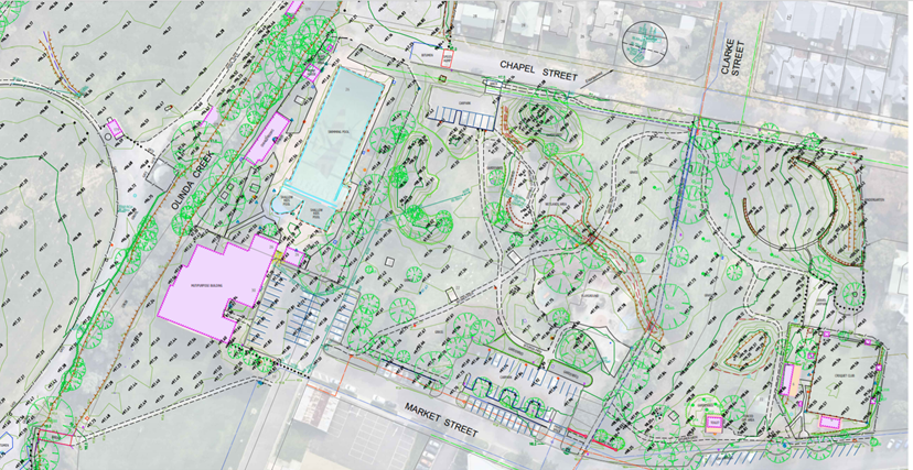
Our land surveying and mapping services are indispensable for various property needs, including defining property boundaries, managing permits, obtaining certificates of occupancy, identifying natural and man-made features, and aiding in the design of site improvements or developments. Our comprehensive land investigations provide detailed information on the location, dimensions, and area of your land, along with any associated rights or restrictions.
The process involves several key phases: research, field reconnaissance, field survey, and drafting. Consult with our experts to determine which of our surveying and mapping services best meets your needs.
- Topographical Surveys
- Contour Survey
- Quantity Survey
- Canal Survey
- Layout Demarcation
- Coloumn/Bolt Marking
- Boundary and Detail Survey
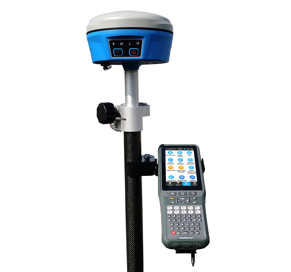
- Digital Land Survey
- Preliminary Survey
- Road Survey
- Longitude and Cross Sections

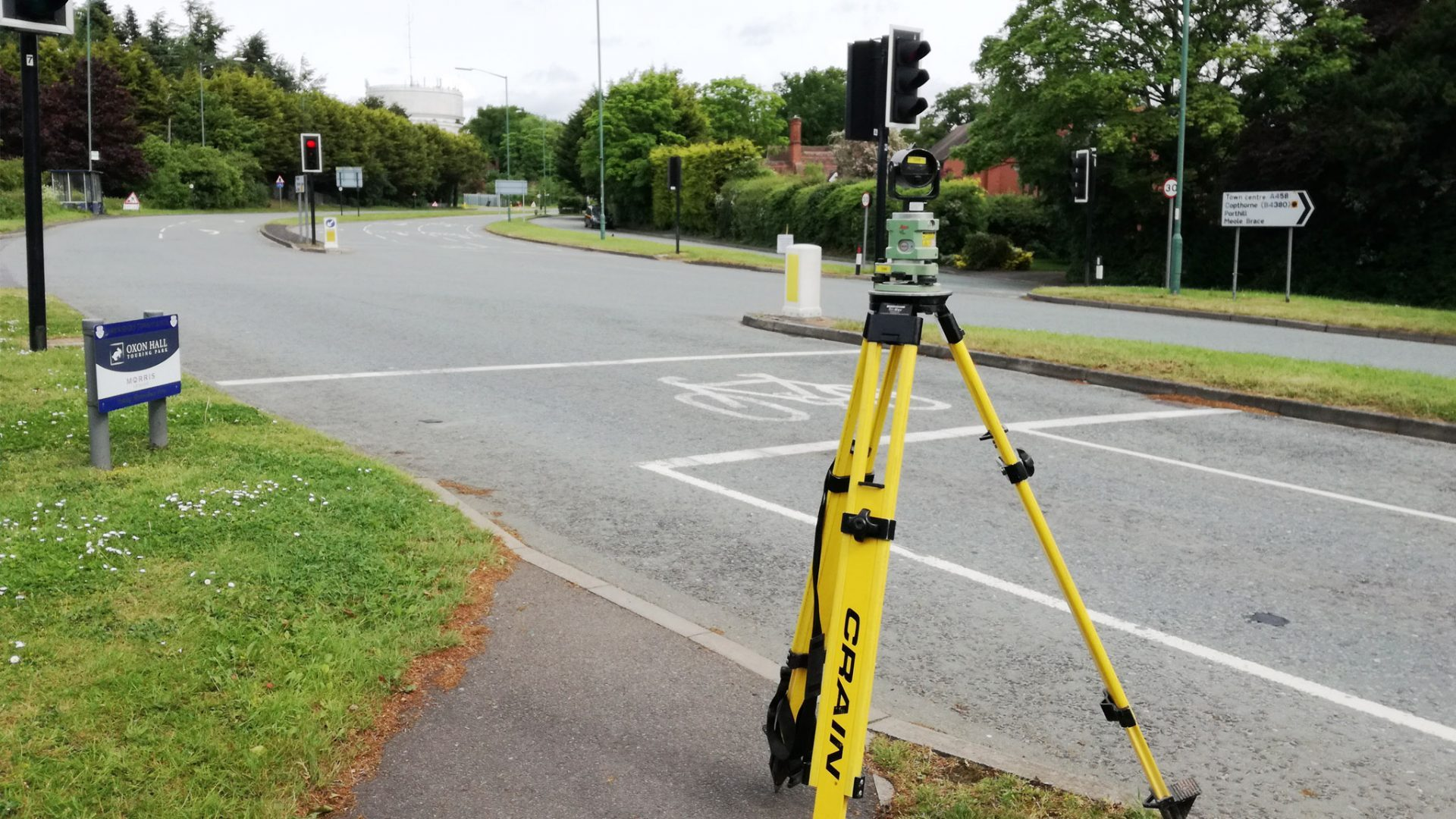
Topographical Surveys
Topographical Surveys Employ benchmark records or GPS survey techniques to establish the vertical datum (NAVD 88). Perform field surveys to gather measurements and observations, which will be compiled, processed, and reviewed. The resulting survey analysis and calculations will be utilized to create accurate maps
Contour Survey
Contour Survey A contour survey maps land elevations and slopes using contour lines to show changes in terrain. This information is crucial for construction, drainage design, and landscaping, helping planners and engineers visualize the land, identify potential issues, and ensure projects are effective and compliant with regulations.

Quantity Survey
Quantity Survey Quantity surveying involves measuring and estimating the materials, labor, and costs needed for a construction project. Quantity surveyors provide detailed cost assessments and manage budgets to ensure projects stay within financial limits, minimize waste, and maintain financial control throughout the project's lifecycle.
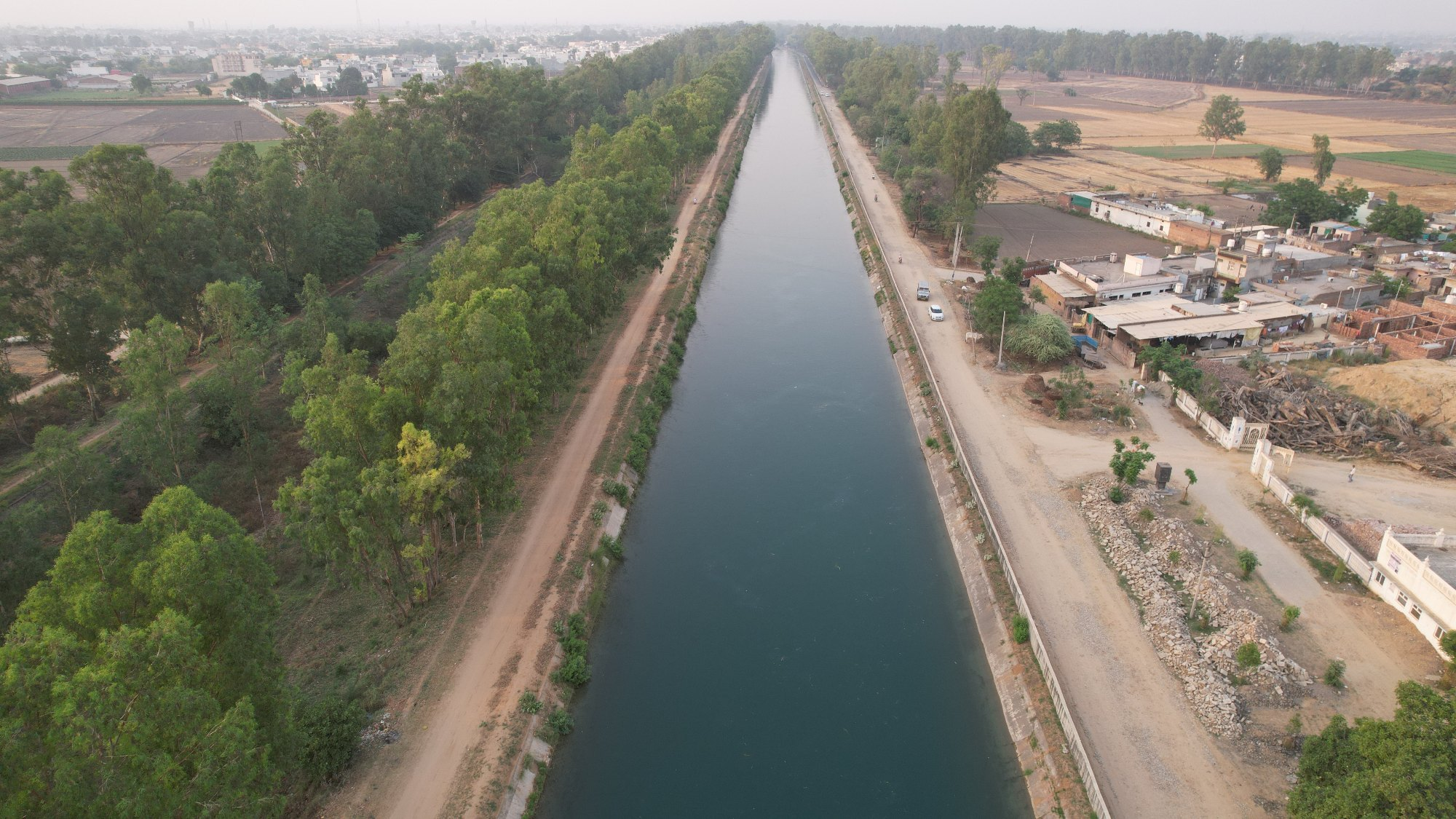
Canal Survey
Canal Survey A canal survey involves measuring and mapping a canal’s dimensions, alignment, and depth, along with its surrounding environment. Using tools like GPS and total stations, surveyors create detailed maps to aid in designing, maintaining, and managing canals, ensuring efficient water flow and infrastructure management. This data supports repairs, upgrades, and effective water resource and flood control.
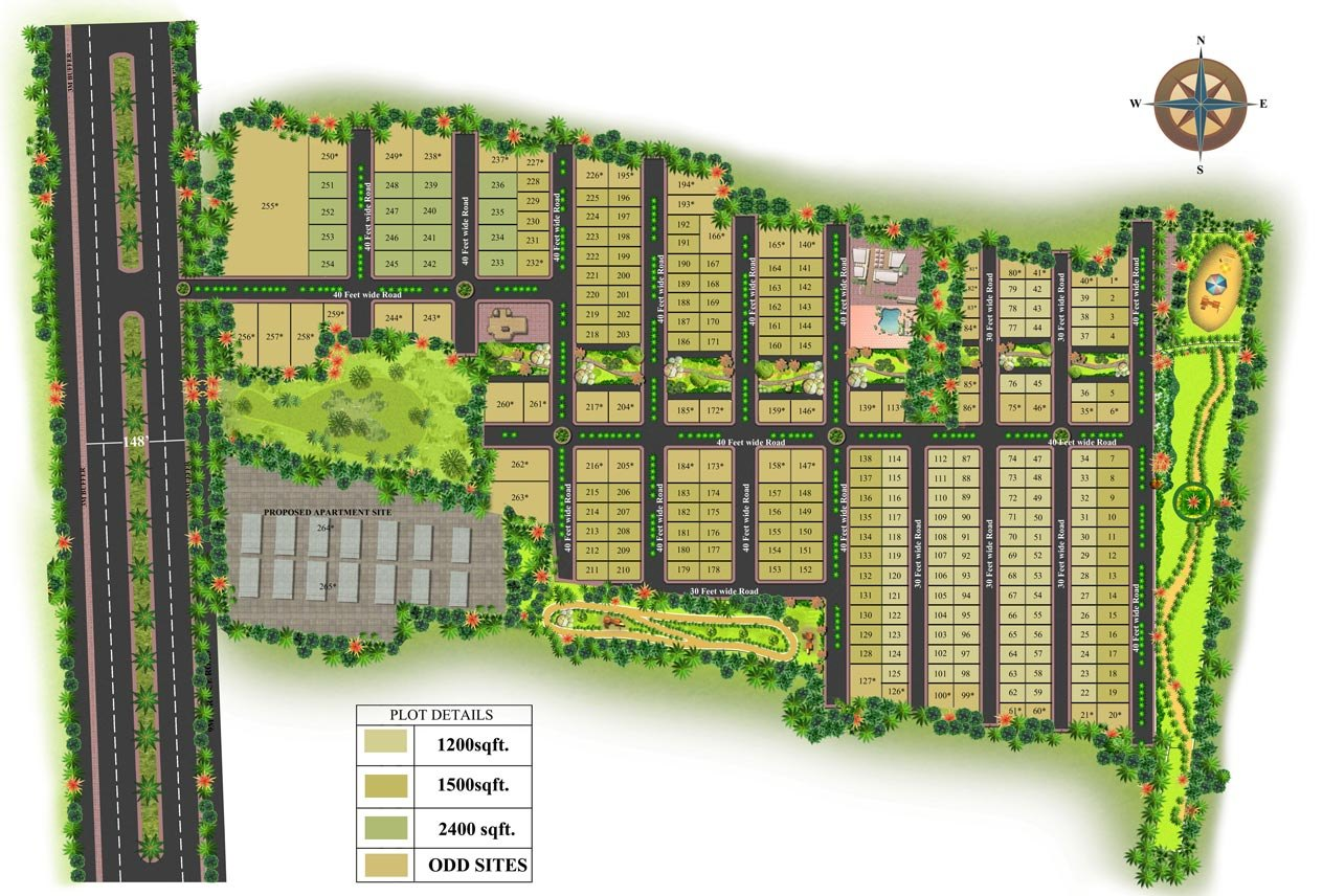
Layout Demarcation
Layout Demarcation Layout demarcation involves marking the exact boundaries and positions for a construction project on-site, using tools like GPS and stakes. This ensures that the construction aligns with the design plans and regulatory requirements, preventing errors and facilitating smooth execution.
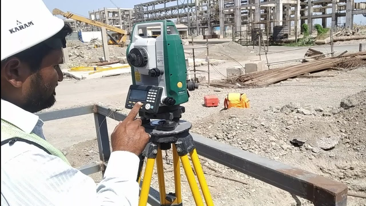
Coloumn/Bolt Marking
A Coloumn/Bolt Marking Column and bolt marking involves precisely marking the locations for columns and bolts on a construction site based on design plans. This process ensures that structural elements are positioned accurately, facilitating correct installation and alignment. Using tools like lasers, templates, and stakes, surveyors and construction teams mark these points to guide the placement of columns and bolts, ensuring structural integrity and adherence to engineering specifications. Accurate marking is crucial for the stability and safety of the building.
Boundary and Detail Survey
Boundary and Detail Survey maps out property lines and identifies specific features within a site, such as buildings, roads, and natural elements. Boundary surveys determine the legal limits of a property, while detail surveys provide a comprehensive view of the site's characteristics. Together, they ensure accurate property descriptions, aid in planning and development, and help resolve disputes by clearly defining property boundaries and documenting existing conditions.
Digital Land Survey
Digital Land Survey uses advanced technology, such as GPS, laser scanners, and drones, to collect and analyze data about a land's topography and features. This modern approach provides highly accurate and detailed digital maps and models, streamlining data collection and analysis. Digital land surveys enhance precision, efficiency, and accessibility of land information, facilitating improved planning, design, and decision-making for construction, development, and property management.

Preliminary Survey
A Preliminary Survey is an initial assessment conducted to gather essential data about a site before detailed planning and design. It provides an overview of the land’s topography, boundaries, and existing conditions, helping to identify potential issues and inform feasibility studies. This early-stage survey aids in decision-making for project viability, initial cost estimation, and planning, setting the stage for more detailed surveys and design work.